
Old Delft Water Walk
We walk towards the Old Church, still along the Old Delft canal. The water level in the Delft’s canals follows the reference level (‘Boezempeil’) in the Rhine-Schie Canal. This is clearly visible on the blue gauge in the Oude Delft opposite the Gemeenlandshuis. This reference level is maintained by the Delfland Water Board at 43 centimetres below NAP (Normal Amsterdam Ordnance Datum). NAP is approximately the mean sea level at Scheveningen.
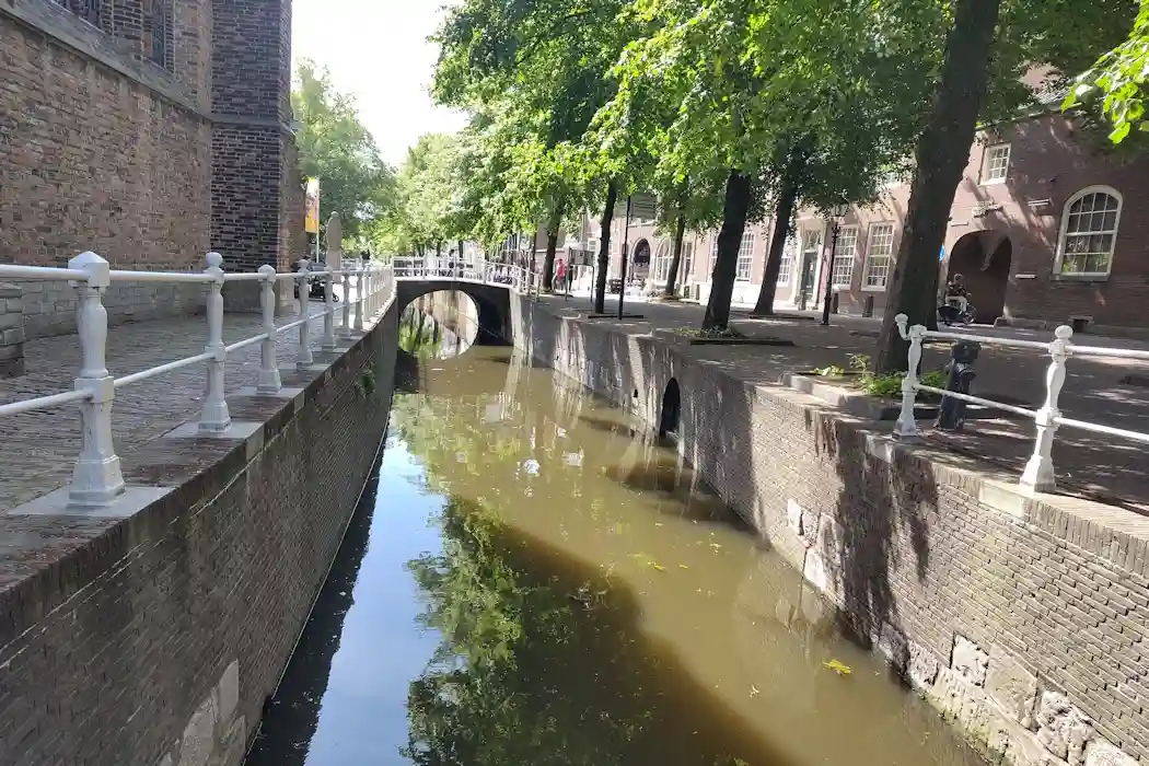
Here, the quay wall is very high, so the ground level (the street) is well above the water table. This is different elsewhere in the city, as we will see later in the walk. There, the water reaches almost the edge of the quays. These parts of Delft are built on clay and peat, while the earliest buildings along the Oude Delft were built on a creek ridge. A creek ridge is a higher body of sand within the Holocene clay and peat deposits in our area. More information can be found in “What is a creek ridge?“.