Outer Delft Water Walk
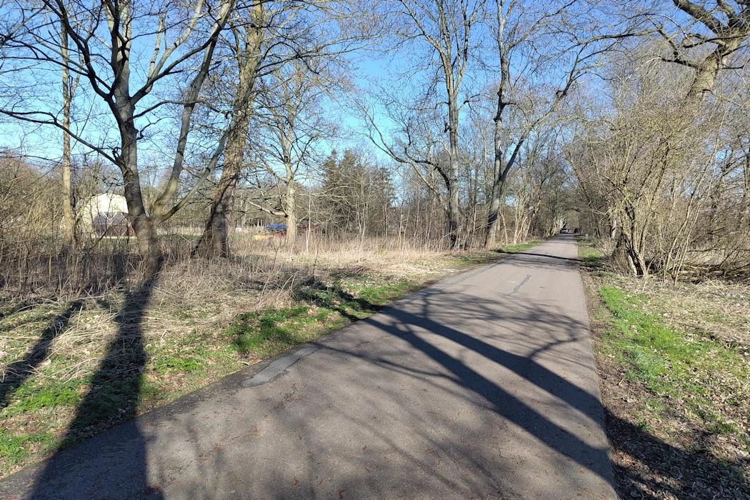
We continue along the road into the polder, along the Tweemolentjesvaart canal. After a little over 500 meters, we walk around the “Rieten Dak” (Thatched Roof), a truncated windmill that now houses a café. Then continue along the Middelweg for another 500 meters and turn right over the small bridge over the Nootdorpse Plassen lakes, then immediately right-left and across the small bridge over the Tweemolentjesvaart canal. You are now on the Noordeindseweg.
Halfway along the Middelweg, we stop to take a good look at all the different polder levels here. To the Southeast, we see the Nootdorpse Plassen and the Tweemolentjesvaart canal, and the Binnenboezem (Inner Boezem), with a target level of -2.30 m NAP in summer and -2.35 m NAP in winter. In winter, when the trees have lost their leaves, you can see the Grote Plas (Great Lake) to the south-east, with a variable level between -3.60 and -4.2 m NAP. The Grote Plas is fed by water from the Binnenboezem. This entire area is called the Bieslandse Binnenpolder.
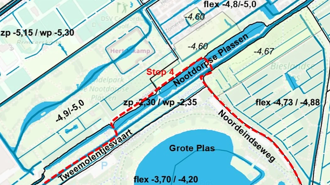
Eight different polder levels within a short distance.
Further to the Northeast we find the Polder of Nootdorp, see “the polders northeast of Delft.” The target water levels in this polder vary by many decimeters over a short distance. If the water level in the polder ditches is too low, or to improve water circulation, water is released from the Binnenboezem (Inner Boezem). This can be seen, for example, along the “Buitenleeft” estate, with a culvert under the Middelweg, operated by a valve at the Nootdorpse Plassen.