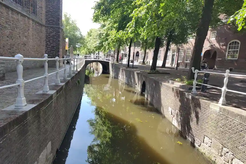
A creek ridge is an elevation in a polder landscape. Once, such a polder was an intertidal zone, like the Wadden Sea. A creek ridge usually consists of (thick layers of) sand. Therefore, these were the first areas to be inhabited and built upon. The first houses and churches (the Oude Kerk) in Delft were also built on such a creek ridge along what is now the Oude Delft, the Westvest, and the Phoenixstraat.

This map shows clearly the elevation of the creek ridge w.r.t. eastern part of the old city (from Algemene Hoogtekaart Nederland).
The upper 20 meters of the Delft sub-soil were formed in the Holocene and consist of clay and peat. This geological period began at the end of the last ice age; see “What is groundwater?“. The clay was deposited by the North Sea, and peat was formed from dead vegetation. Creeks and (small) rivers also flowed through the area, bringing sand from the hinterland. This sand settled on the creek/river bed and was deposited along the banks. This process took thousands of years, during a period when, after the melting of the ice caps, large quantities of sand and clay were transported. This explains why this Holocene deposit is 20 meters thick, and why the sand deposits (the later creek ridges) are also so thick.

Initially, the sandy river bed lies below the ambient clay/peat layers.
Due to natural compaction, and later due to drainage, peat extraction, and the erection of buildings, the clay/peat deposits shrank dramatically, by as much as 2–4 meters in and around Delft (in geological jargon “subsidence“). Because sand does not shrink (see “What is groundwater?“), the land surrounding the original creeks/rivers subsided much more than the creeks/rivers themselves. This created elevations in the low-lying landscape of the polders.

Over time, the clay and peat deposits compact much more than the sand deposits: a creek ridge emerges.
The creek ridge on which Delft is built was formed by the Gantel , a branch from the River Meuse. Also known in geology as the Primeval Gantel (“oer Gantel”). Large storms before the beginning of the Common Era, the coastline south of what is now Kijkduin was breached and the Westland was formed. The large amount of clays brought during the floods made this are exceptionally fertile – that is of course the reason of all the horticulture here.

The complex system of creeks and rivers around Delft, some 1000 – 2000 years ago.
In “The Geology of the Netherlands” you find more information about creek ridges and their formation.