Outer Delft Water Walk
Follow the Oudeweg for about 700 meters and then turn left onto the Molenweg. Following this road, we arrive onto the Brasserskade. Bike along this road for about 2.5 kilometers, along the southeast edge of the Klein Vrijenbanse Polder, with the Polder of Nootdorp on your left. Then cross the A13 motorway and continue straight until the Aaraustraat – Sint Jorisweg intersection. Turn right onto the Aaraustraat and continue until reaching the Lombokstraat.
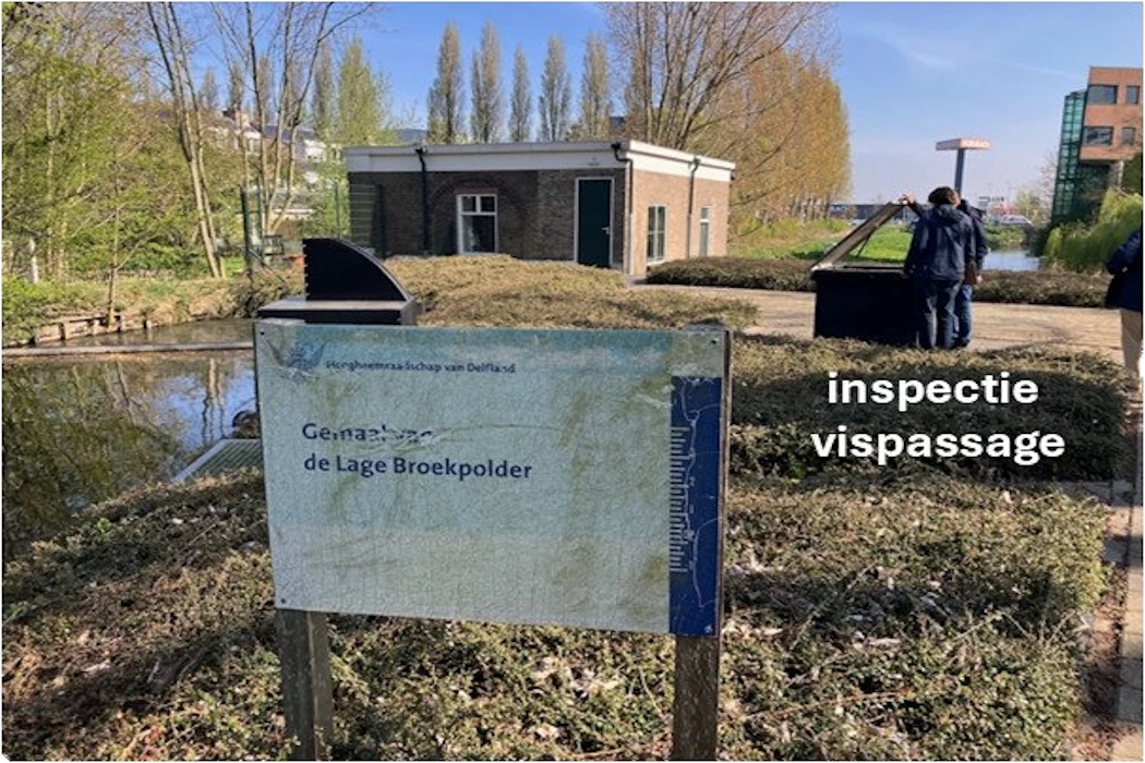
Here we arrive at the Lage Broekpolder pumping station. This pumping station regulates the polder water level in the Lage Broekpolder (-4.55/-4.7 m NAP) and discharges water into the Rhine-Schie Canal, the Delfland Water Board’s Boezempeil (-0.43 m NAP). This polder pumping station has a capacity of 18 m³/minute and is also equipped with a fish ladder.
This is the end of the Outer Delft Water Walk (Buiten Delftse Waterloop). Another fifteen minutes by bike and you are in Delft’s historic city center.